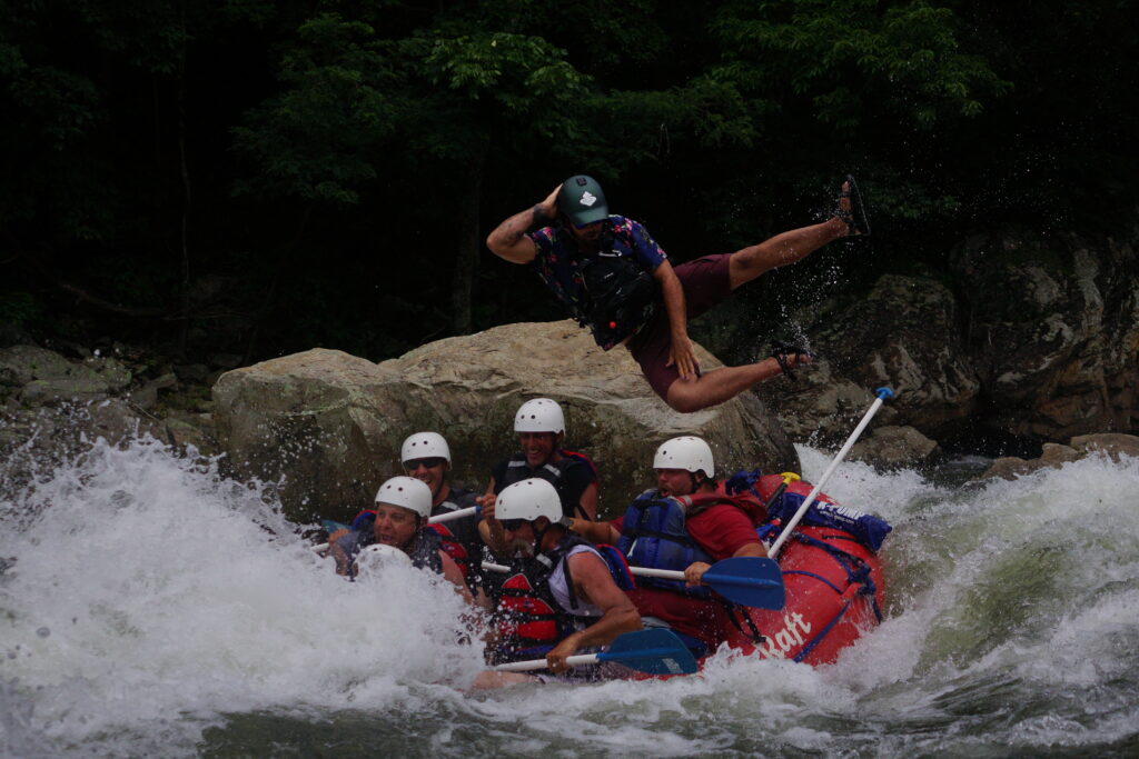
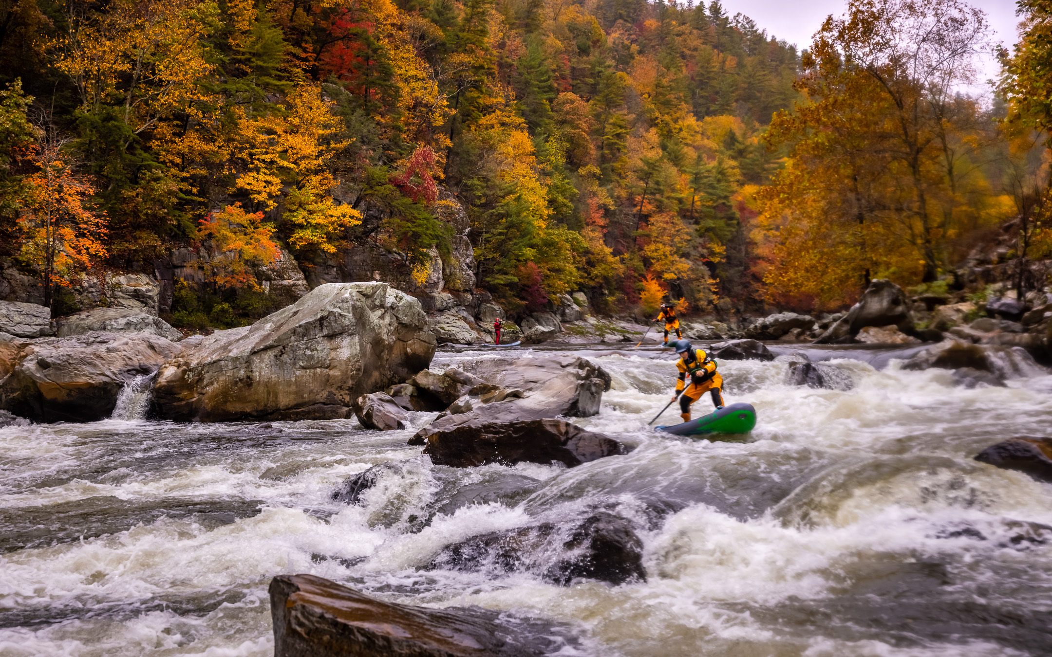
Cutting and winding its way 115 miles through the mountains of North Carolina and Tennessee, the Nolichucky River is one of the most adventurous and scenic rivers in the world. A diamond in the rough for the Southeast, the Nolichucky is one of the top 10 best rafting rivers in the world, according to the International Rafting Federation. The gorge section starting in Poplar, North Carolina, and ending at the home of USA Raft Adventure Resort in Erwin, Tennessee, is up for a Wild and Scenic River designation that would preserve it as one of the last free flowing rivers in the United States. These are the most notable rapids of the Nolichucky River in Eastern Tennessee.
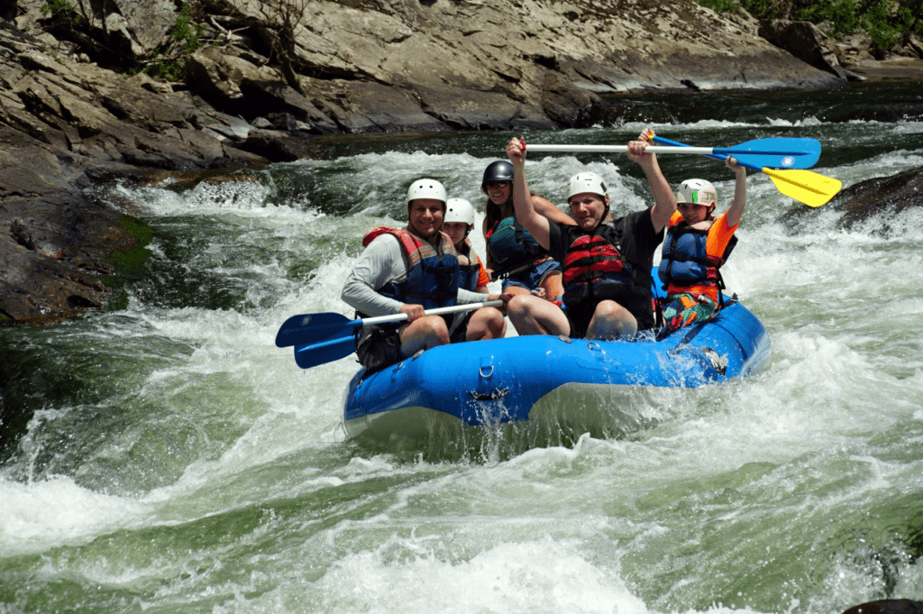
This section starting near the headwaters of the Nolichucky has over 25 named class II, III, and IV rapids stretching through 8.5 miles of pristine wilderness in the steepest river gorge East of the Mississippi. Whitewater enthusiasts around the world look to this river to fulfill their adventure needs. Some notable kayak companies, including Liquid Logic, research and develop new boat technology here. Although no guidebook or text will ever suffice for scouting a run, if you are looking for information on the best and most notable rapids of the Nolichucky to help plan your trip, read on!
One of the dangers and major benefits of the upper gorge section is its remoteness. The benefit is wildlife and landscapes only seen or read about in books. From local flora and fauna to raptors in the sky, the gorge section has something to offer. American Bald Eagles can be seen stealing fish from Osprey. Many deer have been seen and even the occasional one running from a black bear. The danger is in the event of error running one of the Class III+ and up rapids injury is likely and evacuation takes time here. Whether it is for the adrenaline pumping whitewater or the serene moments of beauty between the chaos; the Nolichucky Gorge belongs on your bucket list.
Last Chance
Class III+
Distance: 0.3 miles
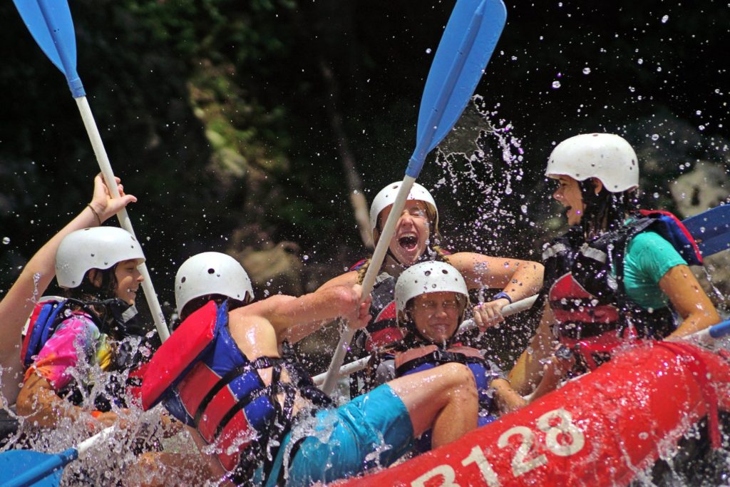
Passing under the railroad trestle after the put in and one will see the river takes a hard left. Enter center or just right of center and be aware of two holes toward the bottom left. This rapid begins as more of a Class II and grows. If you flip your kayak or come out of your raft here, tuck tight and roll quickly – you’ll be moving fast and the water is shallow in places!
On the Rocks
Class IV+
Distance: 0.6 miles
There is a nice sandbar river left upstream of the first drop to scout this rapid from. After an initial 3-4 foot drop, go left or right to avoid a large rock. Left is usually the easiest choice. Make this move and stay away from the diagonal flow pushing you river left! You’ll find a good recovery pool at the bottom! Sometimes you can ride some nice waves all the way to the next notable rapid, Jaws.
Jaws
Class III
Distance: 0.7 miles
This single sloping ledge ends with a huge crescent-shaped hole. Left of the hole is usually the best route as the right side can be tricky. This is a great rapid to spend the afternoon surfing. Tuck tight when you flip upstream.
Quarter Mile
Class IV+
Distance: 1.3 miles
This is a long rapid! While no single drop is very long or challenging, there are many of them, and this area can be run a variety of ways. Of note is the last drop, which is known as Murphy’s Ledge. This spot has seriously injured, so use caution. Run far right or left at higher flows, although the higher the water, the more difficult and dangerous this rapid becomes.
Roostertail
Class III+
Distance: 2.1 miles
You can identify this one by a large rock outcropping river right after a long pool separated by a single rapid, called Swimmers, after Quarter Mile. Start far right and angle left to avoid a hole that will meet you very quickly downstream. Angle left to avoid Charlotte’s Web, a rock garden with a large undercut rock in it, and turn quickly right to avoid a flip rock.
Rollercoaster
Class III
Distance: 2.9 miles
Rollercoaster is divided into upper and lower. Stay left of center and dodge a couple holes here, and this one is typically easy to navigate. Upper Rollercoaster is a large wave train. Lower Rollercoaster has a gnarly little drop river left into a nice wave train created by shallow rocks.
Surprise aka Doo-doo’s Hole
Class III
Distance: 3.8 miles
Depending on your route, this rapid might be in more of the II+ range. You can follow the main flow of the water to the left or head to the far right and go through a narrow 3 foot choute. Over 1,200 cfs there is a nasty whole river left here known as Doo-doo’s Hole. This is not where one wants to practice boofing at the wrong water level.
Rock Garden
Class III
Distance: 4.3 miles
After Surprise, the river bed starts getting more congested. This will require more skill to navigate. After about 300 yards of the main river flow being to your left, the river bends right into a large pile of boulders. Beware of these and branches! Keep it straight and look for a triangle-shaped rock pointing straight up. Point your boat at this rock and choose a line just to the left or right of this rock. There are only one or two lines here and both are boney. Rafts or kayaks will come out of here with new river rash.
Railroad Wall aka Lost Cove
Class III
Distance: 4.9 miles
You can identify this rapid by a large concrete wall on your left as the river bends to the right. Starting with a section of class II offset ledges, this rapid culminates in a 3-4 foot-wide offset ledge and hole.
Souse Hole aka Maggies’ Rock
Class III
Distance: 5.3 miles
The river bends to the right after a long pool at Lost Cove. The pace will pick up as the river heads back to the left. A large rock here called “Maggie’s Rock” is right in the center of the flow. Go left of the rock following the main flow through a series of large standing waves. Note that there is a large hole to the left of Maggie’s Rock, and this is a great place to “ride the bull” if one is rafting with friends. Water levels need to be observed and taken into account for safety here. Some good surf waves are at varying levels immediately downstream.
Twin Eddies
Class III+
Distance: 5.8 miles
This is the last rapid of major consequence on this section of the Nolichucky. You’ll recognize it by its large orange-reddish rock outcropping on the left by the railroad track. This rapid is shallow but immediately flows into a deep pool and sandy beach offering some play from hole riding to wave surfing.
Cherokee Dam
Class II
Distance: 7.4 miles
This area has a fun play spot when the water is at moderate levels. Sunbathers often enjoy this spot during the summer. Lots of locals here enjoying the river.
Take out at USA Raft Adventure Resort
Total Distance: 8-8.5 miles
You’ve done it! Come enjoy a cold beer and a plate of good food at USA Raft Adventure Resort’s Take Out Tavern & Grill to cap off your day. With 35+ beers to choose from, we have something to fit your fancy while you sit along the river and reflect on your rafting adventure. For the next day, if you’re up for another river trip or hike along the Appalachian Trail, be sure to stay in USA Raft’s eclectic and quality lodging units. Offering geodesic domes, bunkies, retro Airstreams, van camping, and primitive camping, there are lodging options to suit any budget.
—–
Hit the Nolichucky River with USA Raft Adventure Resort
Expert raft navigation is essential for a safe and fun experience on the Nolichucky River. When navigating Class III and IV rapids an error can be dangerous. USA Raft Adventure Resort is the premier adventure destination on the banks of the Nolichucky River and in Northeast Tennessee. We offer guided raft tours on the Nolichucky Gorge and Lower sections led by experts, trained by experts.
Trips range from Class III-IV whitewater rafting in the gorge to calmer more mellow rapids on the lower section, making this a perfect day trip for everyone from the very adventurous to the whole family. We can also recommend local shuttle drivers to those private boaters out there. To learn more, visit usaraft.com or call 1-800-USA-RAFT.
